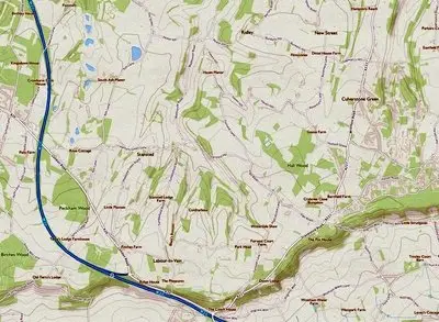
This ‘Places’ section of the website contains information on local landmarks and places of interest, local area maps, listed buildings, and a street-based gallery of all properties in the area. The content is divided into four sub-categories, as shown below.
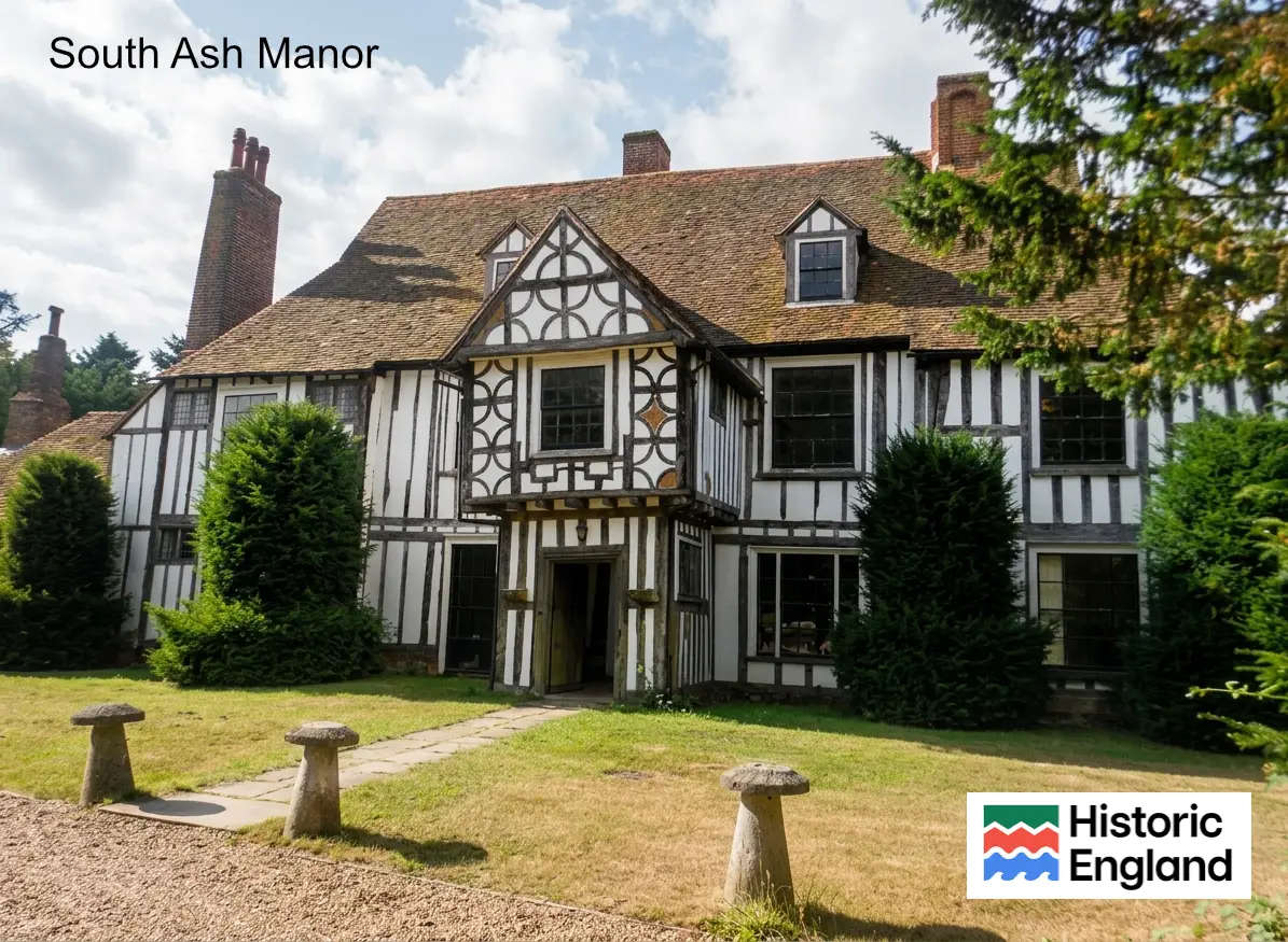
This section contains information on listed buildings in the area, including those that are near or just outside the Stansted and Vigo Parish boundaries.
Grading information has been sourced from Historic England, and where available, more detailed histories of the buildings are included.
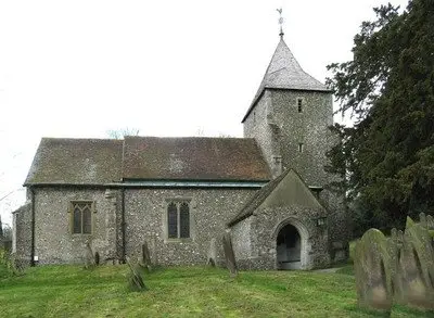
This section contains details of the history of various landmarks, places of interest, and notable buildings in the local area. These include pubs such as the Vigo Inn, churches, farms, Trosley Towers, Fairseat Nursery, etc.
Listed Building details are available in the ‘Listed Building’ section.
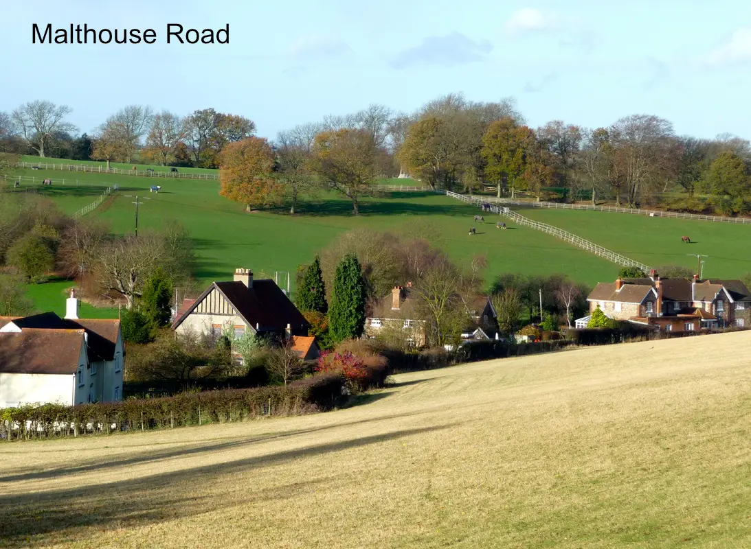
This section lists all the residential properties in Stansted Parish. The individual properties are grouped by street names and presented in geographical order.
Each property includes a photo and brief description. Where available, a more detailed history of the relevant property is included.