This ‘Environment’ section of the website contains information on footpaths, fields, hedgerows & woodland, ponds, infrastructure, and general landscapes. The content is divided into five categories as shown below.
There are a significant number of footpaths, byways, and bridleways in the local area and an area map together with individual footpath details are available in this section, including footpath photos, descriptions, and location maps. A large scale overall rights-of-way map produced by Kent County Council is available in the Fairseat Hall Archive and available on request.
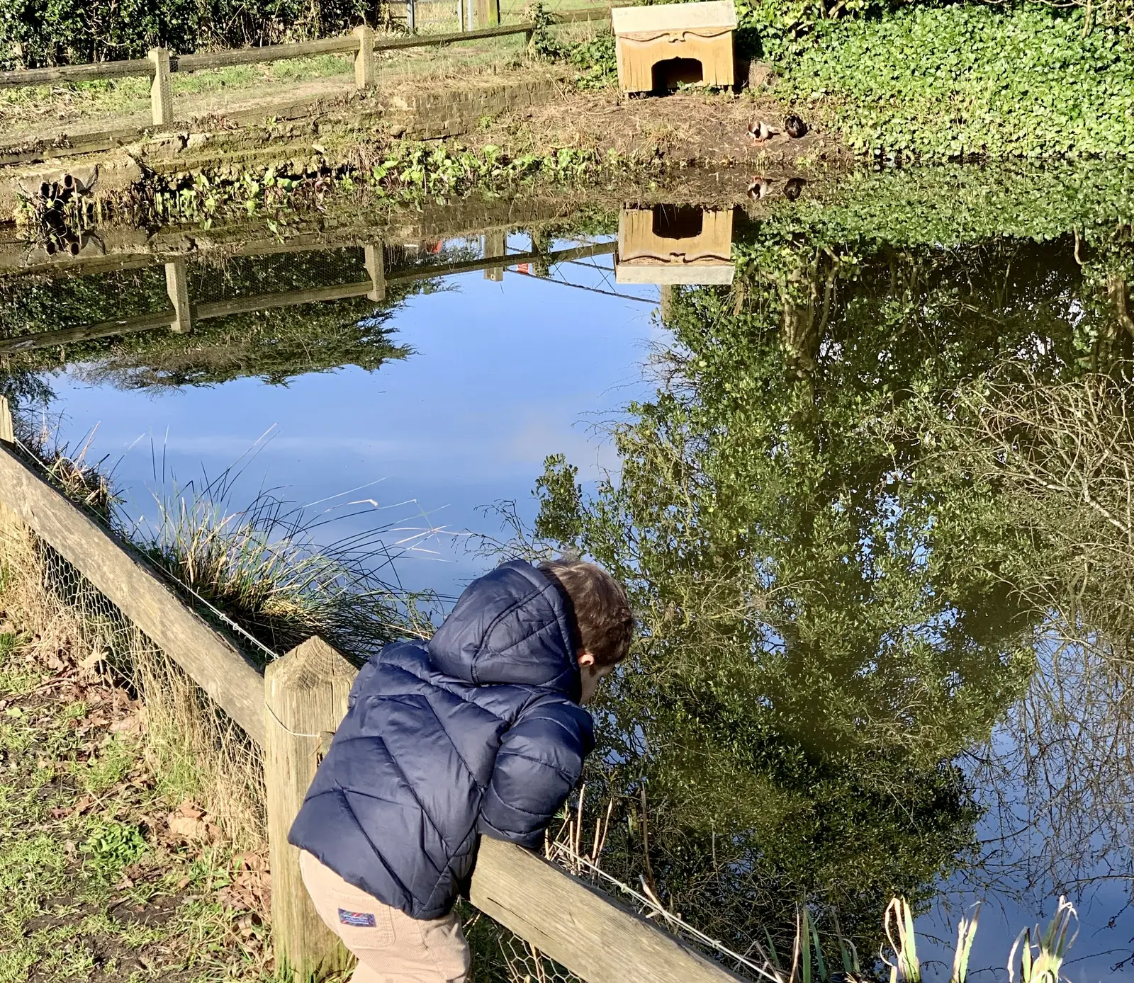
The best-known pond in the local area is located in the centre of Fairseat; however, there are numerous others in the vicinity. Some of the ponds are for drainage purposes, but many are dew ponds, which are man-made and traditionally rely on collecting rainfall and dew for their water supply. There are also old drovers’ ponds, situated at the bottom and top of steep hills, which were used to water and cool down sheep, cattle, and horses. This section contains a photo gallery of the various ponds in the area.
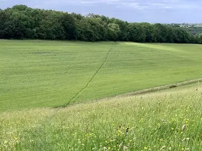
Stansted, Fairseat, and Vigo are fortunate that the area is still predominantly rural and many ancient woodlands and hedges remain intact despite some removal of hedgerows in the 1960s and 1970s. Field boundaries and names were mapped in detail in 1841 and the vast majority remain unchanged but the land use, and the crops grown, have altered considerably in the past two centuries. A photo gallery is available in this section.
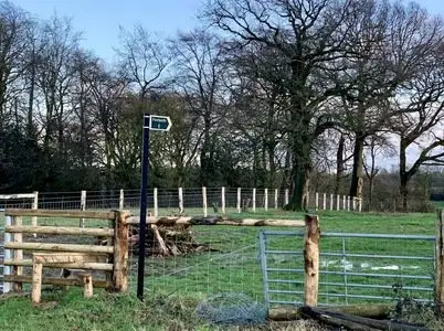
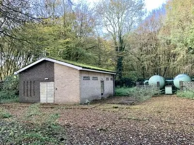
The local area is crisscrossed with electricity and telecommunications cables, water supply services, sewerage pipes, and there are radio and TV transmitters in the area. There is also a high-pressure gas pipeline deep underground but, sadly, no local gas supply to Stansted and Fairseat. This section contains information on various aspects of local infrastructure including communication and transport.
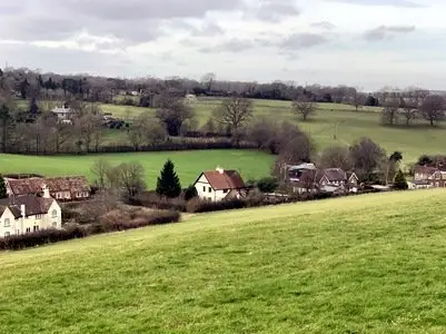
The local villages are fortunate that due to the foresight of a few individuals, many old images of local scenes and areas have been preserved. Some, including a number of aerial photographs, are of wider geography and are presented in this section in the form of a photo gallery. In addition to the vintage photographs, this section includes landscape views taken more recently.